Atewa Forest
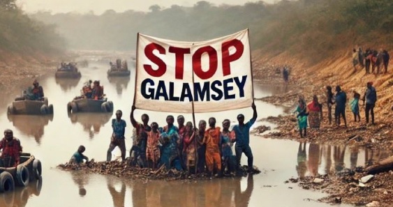
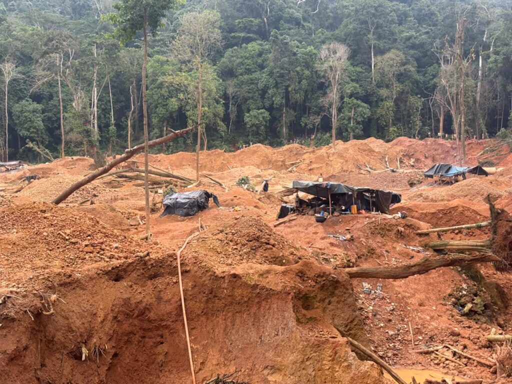
Mining activities in the Atewa Range Forest Reserve landscape increased at an annual rate of 12.3% between 2018 and 2023, while at least 49.7% of mining activity each year occurred within 100 metres of river channels, according to a doctoral study by a Ghanaian researcher at Hokkaido University in Japan.
The study, titled Assessment of the Effects of Anthropogenic Activities on Forest Resources Using Remote Sensing and GIS: A Case Study of the Atewa Range Forest Reserve in Ghana, was conducted by Lukman Boakye Adams and submitted to Hokkaido University in September 2025.
It used satellite imagery and geographic information systems (GIS) to examine mining activities, changes in forest cover, small-scale canopy disturbances and forest carbon storage in the Atewa landscape.
Although mining activity increased across the broader landscape, the research found a decreasing trend in mining activity within the forest reserve itself, recording a rate of change of -21.4%. The researcher said this indicated irregular patterns of mining within the reserve compared with the surrounding landscape.
The study also found that 0.7% of mining activities occurred within a 100-metre buffer around the reserve, pointing to the threat of mining encroachment near the protected forest.
The proximity of mining sites to rivers raises concerns about potential impacts on aquatic ecosystems. However, the study’s reported findings on proximity do not, on their own, establish the extent of pollution or demonstrate specific effects on water quality.
The research used high-resolution PlanetScope satellite imagery covering 2018 to 2023 to map mining activities and land-use changes. It also examined the recovery of vegetation at mined sites and the distance between mining locations, river channels and the forest boundary.
In a separate analysis, the researcher used Sentinel-2 satellite imagery to assess small-scale disturbances in the forest canopy, which can precede more extensive forest loss.
The analysis identified continuing deforestation trends and increasing canopy gaps over time, although 2024 recorded a decrease in gap coverage that the researcher said could indicate forest regeneration.
Canopy disturbances were concentrated mainly near forest edges and river channels. The study also found that disturbance levels varied with elevation and slope, with most recorded disturbances occurring on west-facing slopes.
These patterns suggested possible links to human activities, including selective logging and small-scale resource extraction, although the satellite-based findings do not necessarily establish the cause of every individual disturbance.
The research also estimated the forest’s above-ground biomass and carbon accumulation using satellite data combined with field measurements.
Its final maps recorded mean above-ground biomass of 115.12 megagrams per hectare and mean carbon accumulation of 88.79 megagrams per hectare. The study used vegetation indicators, including the Normalized Difference Vegetation Index (NDVI), to estimate biomass.
The researcher concluded that combining high-resolution satellite imagery, GIS and field measurements could improve monitoring of mining and other forms of forest degradation.
The study recommends stronger surveillance, enforcement of buffer-zone regulations and strategic reforestation to protect the Atewa Range Forest Reserve and surrounding ecosystems.
Atewa, in southeastern Ghana, is recognised for its biodiversity and importance to the country’s ecological and hydrological systems.
The research provides satellite-based evidence of human pressures on the forest landscape and highlights the need to monitor both direct mining activity and smaller disturbances that may contribute to longer-term forest degradation.
The doctoral thesis was submitted to Hokkaido University’s Graduate School of Environmental Science on September 25, 2025.
The full study is available through the university’s scholarly repository: https://doi.org/10.14943/doctoral.k16567